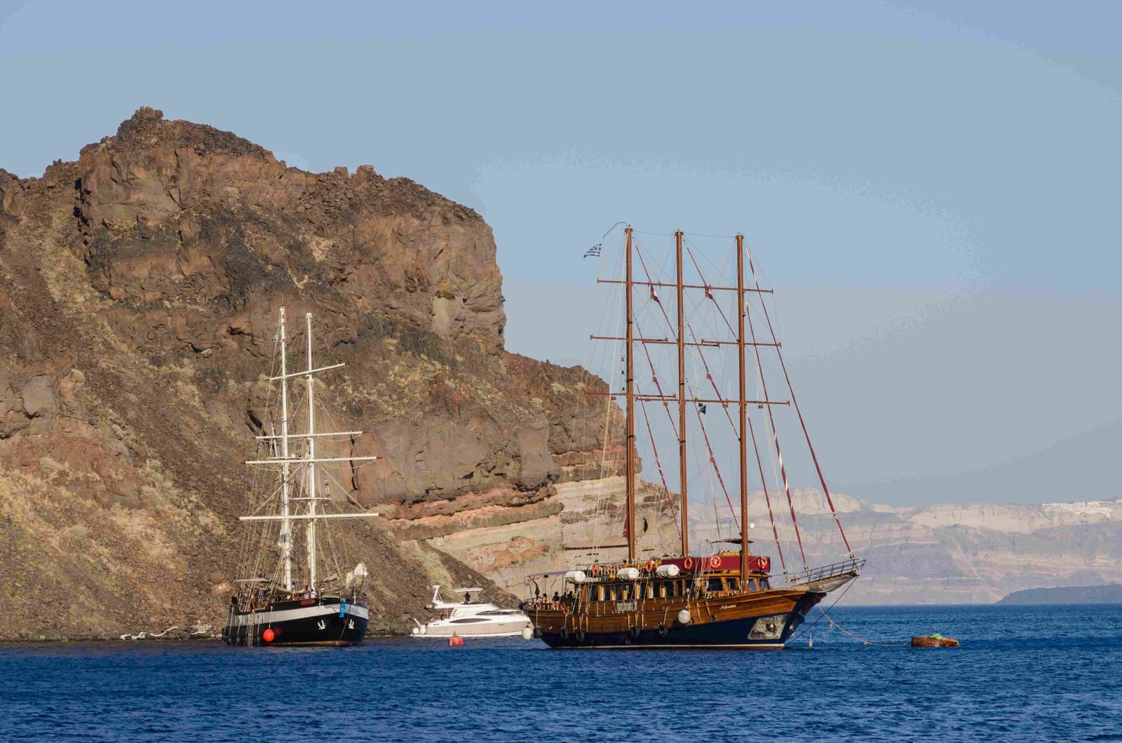
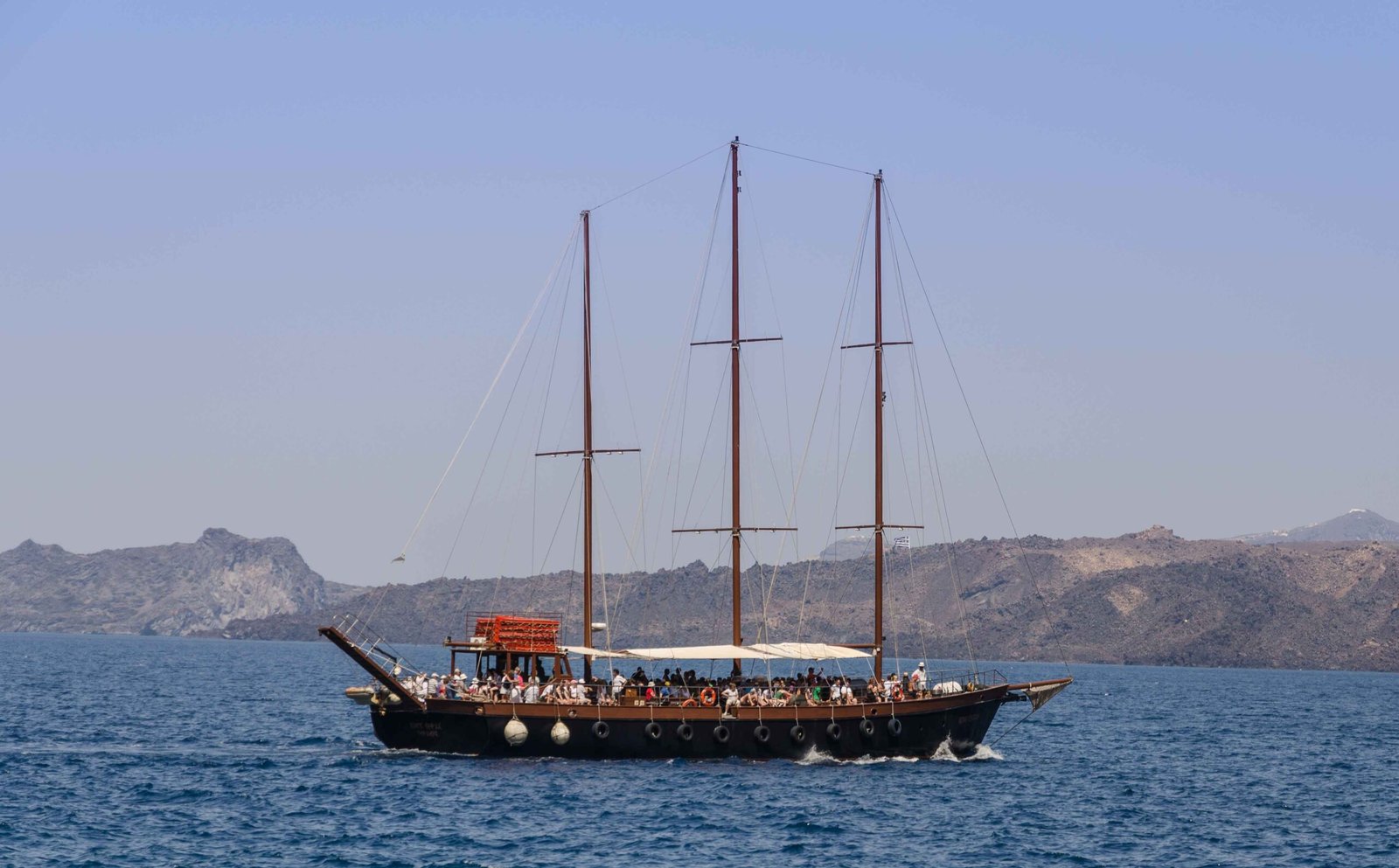
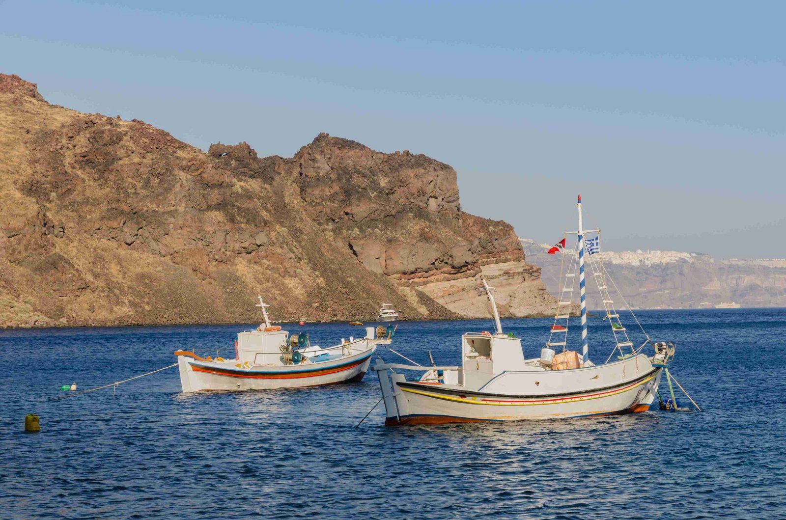
The Santorini water way is a unique maritime route through the iconic caldera of Santorini, Greece. This submerged volcanic crater forms a natural harbor, offering breathtaking views of the island’s steep cliffs and white-washed buildings. The water way serves as the primary means of transportation for tourists and locals alike, connecting various points of interest around the island. With its crystal-clear waters, diverse marine life, and stunning geological formations, the Santorini water way provides an unforgettable experience for visitors exploring this Aegean paradise.
What is the Geographical Layout of the Santorini Water Way?

The Santorini water way is defined by the island’s distinctive caldera, a large, mostly submerged volcanic crater in the southern Aegean Sea. Key features include:
- Dimensions: Approximately 12 km by 7 km (7.5 by 4.3 miles)
- Surrounding cliffs: 300 meters (980 feet) high on three sides
- Connection to the Aegean Sea: Two narrow straits in the northwest and southwest
- Maximum depth: 385 to 400 meters (1,263 to 1,312 feet)
This unique geography creates a protected bay that can accommodate most vessels, making it an ideal location for water-based activities and transportation.
How Deep is the Santorini Caldera?

The Santorini caldera boasts impressive depths, contributing to its striking appearance and navigational considerations:
| Depth Measurement | Metric | Imperial |
|---|---|---|
| Maximum Depth | 385-400 meters | 1,263-1,312 feet |
| Average Depth | Varies | Varies |
These depths allow for safe anchoring of all but the largest ships within the protected bay, making it a popular destination for cruise ships and private yachts.
What are the Navigational Challenges in the Santorini Water Way?
Navigating the Santorini water way presents several challenges:
- Narrow straits: The entrance and exit points of the caldera are constricted, requiring careful maneuvering.
- Depth variations: The significant depth of the caldera can affect navigation and anchoring procedures.
- Seismic activity: The area is prone to earthquakes, which can occasionally alter sea floor conditions.
- Wind and weather: Strong winds and changing weather patterns can impact sailing conditions.
- Heavy maritime traffic: During peak tourist seasons, the water way can become congested with various vessels.
These factors necessitate experienced captains and well-maintained vessels for safe navigation through the Santorini water way.
What Types of Water Transportation are Available in Santorini?
Visitors to Santorini can choose from several water transportation options:
- Water Taxis
- Capacity: Varies from small boats to larger vessels accommodating several dozen passengers
- Average Fare: €5 to €20 per person for short trips
- Schedule: Frequent departures, especially during peak season
-
Accessibility: Some modern boats offer features for passengers with disabilities
-
Ferry Services
- Connect Santorini to other Greek islands and the mainland
- Larger capacity and less frequent than water taxis
-
Typically more affordable for longer journeys
-
Private Charters
- Customizable itineraries and durations
-
Higher cost but offer more privacy and flexibility
-
Cruise Ships
- Large vessels that dock in the caldera
- Offer organized excursions and tours of the island
What are the Popular Boat Tours in Santorini?
Santorini offers a variety of boat tours catering to different interests and schedules:
- Half-Day Tours
- Duration: 4-5 hours
-
Highlights: Kameni islands, hot springs, caldera views
-
Full-Day Tours
- Duration: Up to 8 hours
-
Includes: Multiple island stops, snorkeling, swimming, lunch
-
Sunset Cruises
- Duration: 4-5 hours
-
Features: Stunning caldera and sunset views
-
Volcano and Hot Springs Tours
- Visits to Nea and Palea Kameni
-
Opportunity for therapeutic swims in hot springs
-
Private Charters
- Customizable itineraries
- Exclusive experiences and personalized service
Most tours include amenities such as snorkeling gear, refreshments, and guided commentary on the area’s history and geology.
Where are the Best Snorkeling Spots in Santorini?
Santorini offers several excellent snorkeling locations along its water way:
- Red Beach (Kokkini Paralia)
- Known for: Deep-red rocks and clear waters
-
Marine life: Colorful fish and interesting rock formations
-
White Beach (Aspri Paralia)
- Accessible only by boat
-
Features: White sand and crystal-clear waters
-
Vlychada Beach
- Highlights: Volcanic rocks and diverse marine ecosystem
-
Good for both beginners and experienced snorkelers
-
Koloumbos Beach
- Secluded location with rich marine life
- Ideal for those seeking a quieter snorkeling experience
Water conditions in these areas typically offer good visibility (10-15 meters) and comfortable temperatures during summer months. Snorkeling gear can often be rented or is included in boat tour packages, with costs ranging from €20 to €50 per person for guided excursions.
How Does the Santorini Water Way Contribute to the Island’s Economy?
The Santorini water way plays a crucial role in the island’s economy:
- Tourism Revenue
- Boat tours and water activities generate significant income
-
Attracts visitors from around the world, boosting local businesses
-
Transportation Infrastructure
- Facilitates movement of goods and people between islands
-
Supports the cruise ship industry, a major economic contributor
-
Employment Opportunities
- Creates jobs in maritime sectors, tour operations, and related services
-
Supports indirect employment in hospitality and retail industries
-
Fishing Industry
- Provides access to rich fishing grounds
-
Supplies local restaurants with fresh seafood
-
Real Estate Value
- Properties with caldera views command premium prices
- Drives development of luxury accommodations and restaurants
The unique geography of the Santorini water way has transformed the island into a world-renowned destination, significantly impacting its economic landscape.
References:
1. Wikipedia – Santorini Caldera
2. Avista Suites – Santorini
3. Greeka – Geography of Santorini

